Similar organisations to Cugos

-
Education N.E.C.
-
1.
Curriki
Non-profit providing free and open tools to design, customize and publish interactive learning content all in one place.
6987
Cupertino
-
Unknown
-
2.
Openstreetmap United States Inc
We help grow OpenStreetMap, the free and editable map of the world, in the United States.
393
Washington

Adelante Comunidad Conejo
It is our mission to bring Conejo Valley Latino voices into important community conversations regarding our schools, city services and recreational opportunities.
Thousand Oaks

Basecamp Cascadia
Basecamp Cascadia is an outdoor community space for all.
104
Leavenworth

North American Cartographic Information Society Inc
Do you #lovemaps. The North American Cartographic Information Society has been the home for map enthusiasts since 1980.
9888
Milwaukee
-
Community Coalitions
-
6.
Rio Del Mar Improvement Association Inc
RDMIA. org Whatx27s New Projects Resources About Membership More Rio Del MarImprovementAssociation Enhancing Our Neighborhood through Beautification Advocacy and Engagement Dont miss the next RDMIA meetingWednesday April 16 2025 at the Rio Sands Hotel 2024 Rio Del Mar Improvement Association Join the Conversation .
Aptos

Geospatial Information & Technology Association
#gita Official feed for the Geospatial Information & Technology Association.
3707
St. Paul

-
Education N.E.C.
-
8.
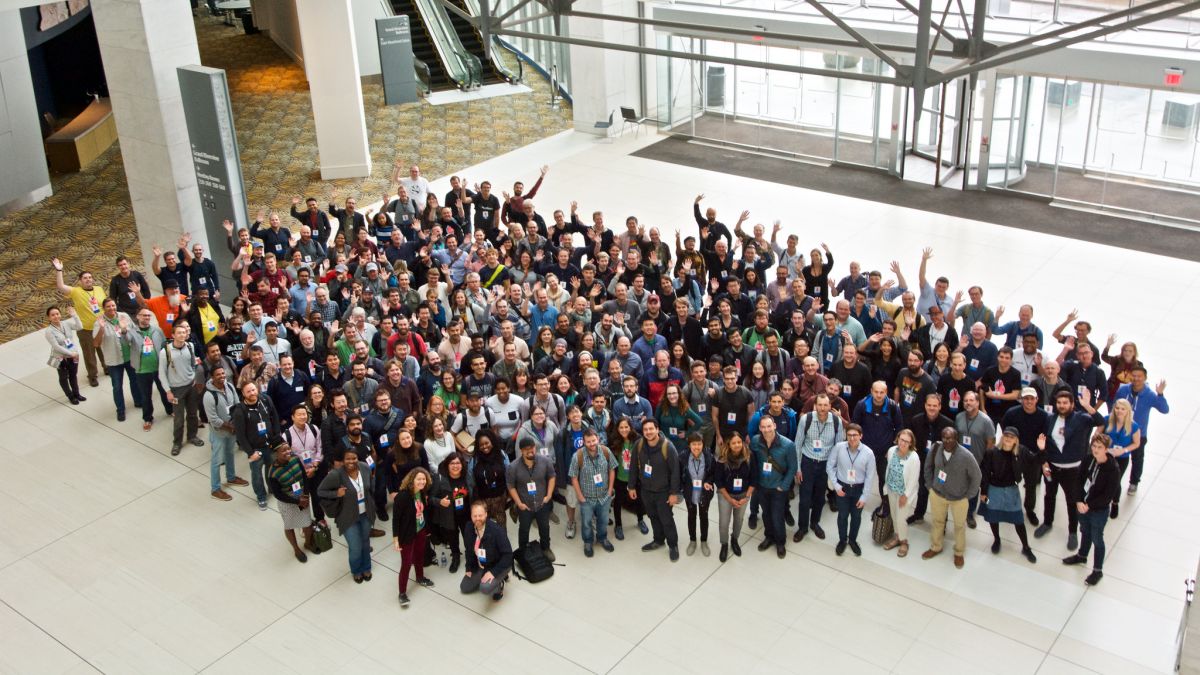
Open Source Geospatial Foundation
The Open Source Geospatial Foundation (OSGeo) is a not-for-profit organization to "Empower Everyone with Open Source Geospatial" The Open Source Geospatial Foundation, or OSGeo, is a not-for-profit organization whose mission is to support the collaborative development of open source geospatial software, and promote its widespread use.
4012
Beaverton
-
Elementary, Secondary Ed
-
9.
EL DORADO CHRISTIAN EDUCATION
Wayfinder Open Source Project The Wayfinder Open Source Project has open source versions of the former WayfinderVodafone LBS platform including both backend and clients.
OOLTEWAH