Mountain Education Inc
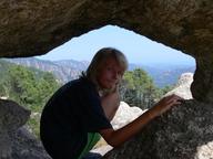
Teaching people the Why's and How's of safe, year-round backpacking since 1982. To minimize wilderness accidents, injuries, and illnesses through public services, personal skills training, and environmental risk awareness.
ICO
471263156
4800
Web
Sign in to see organisation website
Address
Reno
Mountain Education Inc. WHY DIGITAL CLASSES. COMING SOON. Our Digital Courses are all FREE and are created to safely help you get out on the trail. Search a specific topic start from the top and work down however your learn we encourage you to explore our course library before you explore the trail.
From Social media
News about from their social media (Facebook and X).
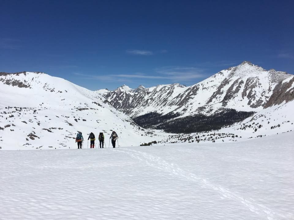
Winter-worthy. For all pacific coast PCT hopefuls who want to see if they’re ready for camping and travel in the “snow-dimension,” this weekend’s event would be a good time to test your “systems” of gear, clothing, vehicle chains, shoveling, and savvy in being tent-bound in a safe place. A 2-foot snow dump in the Lake Tahoe end of the Sierra Nevada is a “normal” amount of winter precipitation.
Like Comment
Data about organisation
Environmental Education and Outdoor Survival Programs Category
Organisations with similar rank to Mountain Education Inc in category Environmental Education and Outdoor Survival Programs
350. Wildwood Outdoor Education Center, Inc.
We bring kids outside to learn and grow together.
351. Amazon Center for Environmental Education Research Foundation
Visit us: http://www.
Teaching people the Why's and How's of safe, year-round backpacking since 1982.
353. ENVIRONMENTAL PROTECTION IN THE CARIBBEAN
Environmental Protection in the Caribbean (EPIC) is an independent non-profit founded in 2000.
Growing healthy cities through urban farming, community & school gardens and education to promote social justice and environmental equality.
Reno
Organisations from Mountain Education Inc

63. CHANNEL 5 PUBLIC BROADCASTING INC
PBS Reno is an independent, community-owned, public television station.

64. BRUKA THEATER OF THE SIERRA INC
Bruka's Mission ~ To Create and Share the Experience of Innovative Theatre.
Teaching people the Why's and How's of safe, year-round backpacking since 1982.

66. GIRL SCOUTS OF THE SIERRA NEVADA INC
Discover all you can be and everything you can accomplish with Girl Scouts.

67. Catholic Charities of Northern Nevada
With food, clothing, shelter, and a helping hand, Catholic Charities of Northern Nevada brings hope to people in order to build spirit and self-reliance within them and within our community.
Similar organisations
Similar organisations to Mountain Education Inc based on mission, location, activites.
The new nature of learning: we help students achieve through outdoor science.

Lasting Adventures Incorporated
The West Coast's #1 National Park Guides, Summer Camps, and Outdoor Education programs.
Wilderness Guides Council Foundation
The Wilderness Guides Council is a non-profit, membership organization dedicated to the concept that wilderness is the root source of our spiritual values, inspiration and healing.
WALDEN WEST OUTDOOR SCHOOL FOUNDATION
Inspiring passion for science and the environment by supporting Walden West Outdoor School.
Check us out.
Similar Organisations Worldwide
Organisations in the world similar to Mountain Education Inc.

National Outdoor Centre.

MOUNTAIN TRAINING ENGLAND (uk)
Mountain Training is the collection of awarding bodies for skills courses and qualifications in walking, climbing and mountaineering in the UK and Ireland.

HOPE MOUNTAIN CENTRE FOR OUTDOOR LEARNING SOCIETY (ca)
Working to strengthen people’s connection with nature and local history.

professional adventurous activities.

Mountain Movers is an inclusive, educational community providing friendship, activities, products, and support to families who are electively home educating, particularly but not exclusively families with disabled children.
Interesting nearby
Interesting organisations close by to residence of Mountain Education Inc
The new nature of learning: we help students achieve through outdoor science.
Tahoe Institute for Natural Science
Advancing the natural history, ecological, and conservation knowledge of the Tahoe Region through science, education, and outreach.
Teaching people the Why's and How's of safe, year-round backpacking since 1982.

Ocean Plastic Debris Education Research Awareness, OPDERA, is a nonprofit organization 501(c)(3) dedicated to raising awareness about plastic debris in the oceans of the world.
Similar social media (4800)
Organisations with similar social media impact to Mountain Education Inc
Mindfulness First is a registered 501(c)3 nonprofit, EIN 46-4253699.
82564. Hilton Head Island St Patricks Day Parade Foundation
IrishFest is a two-day family oriented, community based celebration of St.
Teaching people the Why's and How's of safe, year-round backpacking since 1982.
82566. Midwest Avian Adoption & Rescue Services, Inc.
Providing sanctuary, rehabilitation, and advocacy for wild birds living in captivity.

82567. Association of Fraternity Sorority Advisors Foundation
AFA elevates the standard for professional practice in working with sororities and fraternities.
Join us and make a difference for the future!
Eduo.org helped me discover a small local organization doing amazing environmental work that I would’ve never found otherwise. It’s a hidden gem for socially conscious people.
Patrick
Eduo.org helped me discover a small local organization doing amazing environmental work that I would’ve never found otherwise. It’s a hidden gem for socially conscious people.

Joanna
A brilliant resource for anyone who wants to do good more effectively.

Michelle
Simple interface, deep purpose. Eduo makes it easy for everyday people to become part of a global community doing good.

Daniel
Finally, a platform that brings transparency and accessibility to the nonprofit world. Eduo makes it simple to see who’s doing meaningful work and how to get involved.
Daniel
A brilliant resource for anyone who wants to do good more effectively.

Jessica
Sign Up
Please fill in your information. Everything is free, we might contact you with updates (but cancel any time!)
Sign in with GoogleOr
Good News
Exciting news! 🌱 Agroz just launched an AI-driven food infrastructure strategy that positions agriculture as a high-growth asset class. This innovative approach, built on Microsoft Azure, could transform food production in a sustainable way. Great to see tech and agriculture working together for a better future! #AgroInnovation #SustainableFarming

Agroz Unveils AI-Driven Food Infrastructure Strategy Positioning Agriculture as a High-Growth, Investable Asset Class - Agroz (NASDAQ:AGRZ)
Benzinga
Like CommentExciting news! SCIENTURE is launching commercial sales of Arbli (Losartan Potassium), bringing innovative healthcare solutions to patients in need! #GoodNews #HealthcareInnovation

SCIENTURE Announces Start of Commercial Sales and Fulfillment of First Orders for Arbli (Losartan Potassium)
MarTech Series
Like CommentExciting news from Toronto! 🌟 The Distillery Winter Village is gearing up to bring joy and magic to the holidays with its 2025 programming lineup. Can't wait to see how they transform the historic district into a winter wonderland! ❄️🎉 #PositiveVibes #CommunitySpirit #Holidays2025
Toronto's Distillery Winter Village Unwraps 2025 Programming Lineup
Benzinga
Like Comment